Satellite images reveal worrying scale of Svalbard glaciers loss
During this summer, the Norwegian archipelago of Svalbard has been melting five times faster than normal. "Svalbard is a hotspot for Arctic warming", experts warn.
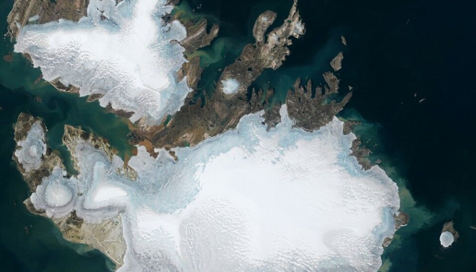
The evidence of the unprecedented glacier melting can be seen in the latest satellite images published by NASA.
According to the latest data, Svalbard’s glaciers broke their all-time record for daily surface melt this summer. On July 23 Svalbard shed about 55 millimeters of water equivalent, a rate five times larger than normal, NASA reportsciting Xavier Fettweis, a climatologist at the University of Liège.
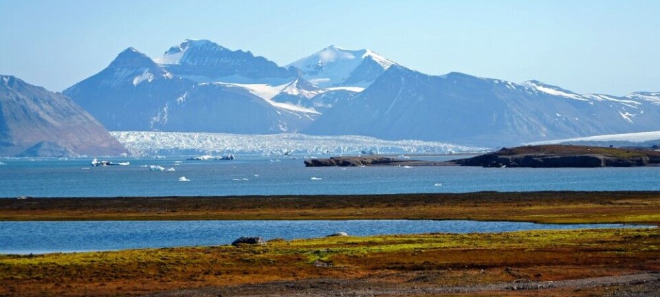
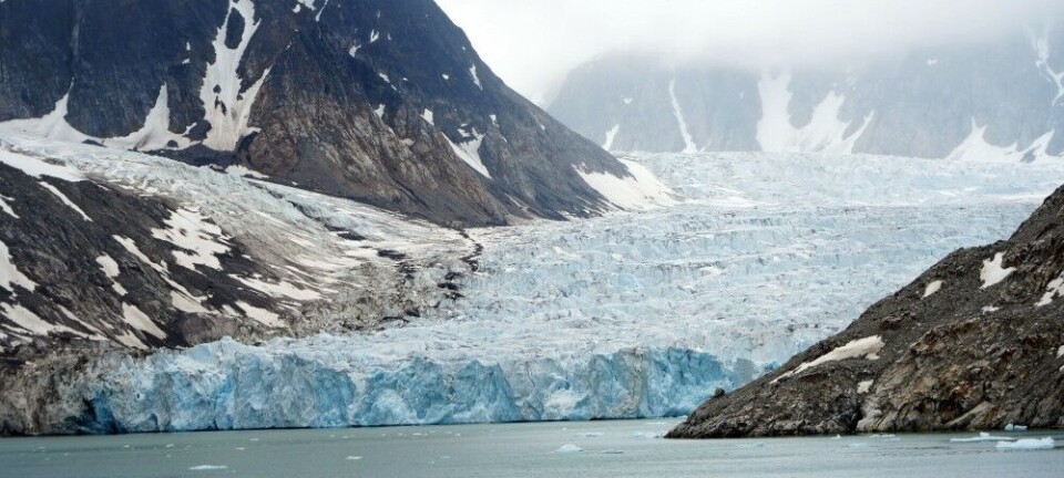
“The archipelago of Svalbard is covered mostly by glaciers. There are more than 2000 glaciers there. Svalbard is a hotspot for Arctic warming - it is warming around 7 times the global average, - Jemma Wadham, Professor in Glaciology at Arctic University of Norway (UiT) told The Barents Observer.
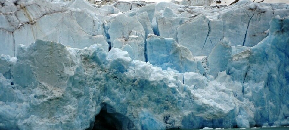
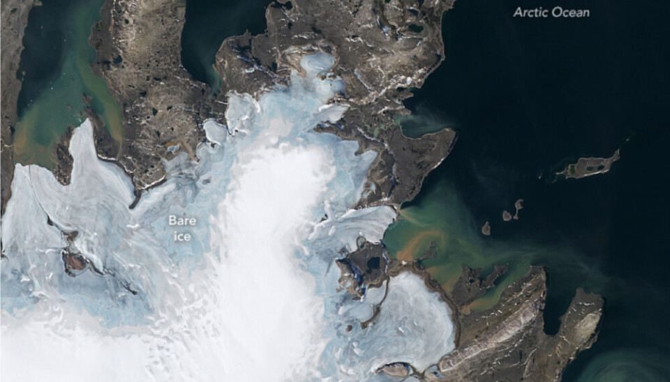
The images of the island Nordaustlandet taken on August 9, 2024, show water and sediment draining off the coast and into the Arctic Ocean. NASA explains that the sediment seen in the pictures is likely causing the striking swirls of colour in the water surrounding the island. The melting of seasonal snow and an older, compressed layer of snow called “firn” left some areas of glacial ice (light blue) bare and exposed in the images.
“What is interesting about these NASA pictures are these huge swirls of sediments leading out with meltwater from the glaciers and the ice caps into the ocean”, - UiT Professor Jemma Wadham told The Barents Observer. “Fjords and coasts are hosts to, for example, the tiny little phytoplankton which needs light to photosynthesize. But because of the “cloudiness” caused by the sediment that we see, phytoplankton can’t get the light they need. The phytoplankton are an important part of sustaining the entire food web on the coast; it’s a different type of environment for the creatures that are living there now.”
Warming Arctic
The extreme melting observed across these glaciers on Svalbard is representative of a longer-term trend seen around the whole Arctic. According to a study published by Northern Arizona University on August 15, 2024, the average Arctic-wide change in glacier snowlines (the elevation at which snow remains at the end of the summer) over the last 40 years has risen an average of 152 meters. However, unlike parts of Alaska, Canada, Greenland, and Norway, glaciers on the Russian archipelago of Novaya Zemlya have been observed to show the least effects of melting.
UiT Professor Jemma Wadham finds some useful aspects in such a rapid warming:
“Svalbard acts like an early warning system for us. Svalbard is a useful way of studying what might happen in the future in the other parts of the Arctic that haven’t warmed so strongly.”
Earlier this August, the hottest-ever monthly temperature was recorded at Svalbard Airport, a few short kilometers from Longyearbyen. On August 11th this year the registered temperature there was 20,3°C - two degrees warmer than the previous record.
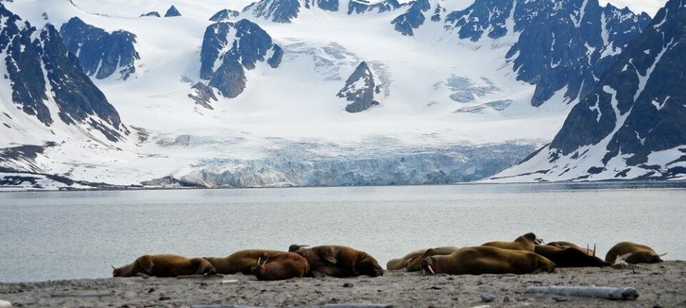
Glaciologists warn that the melting of the Arctic will bring significant changes to wildlife and sea level will continue to rise over the 21st century. For the 900 million people (1 in 10 globally) living in coastal zones around the world now, including in coastal mega-cities, this danger is particularly acute.
