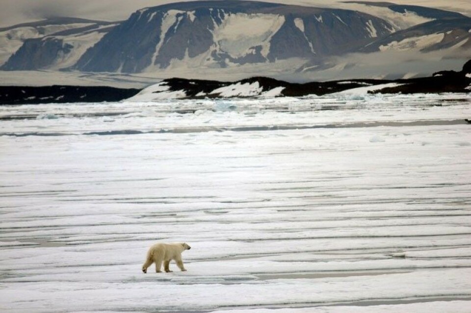
Arctic sea ice nears its minimum extent for 2016
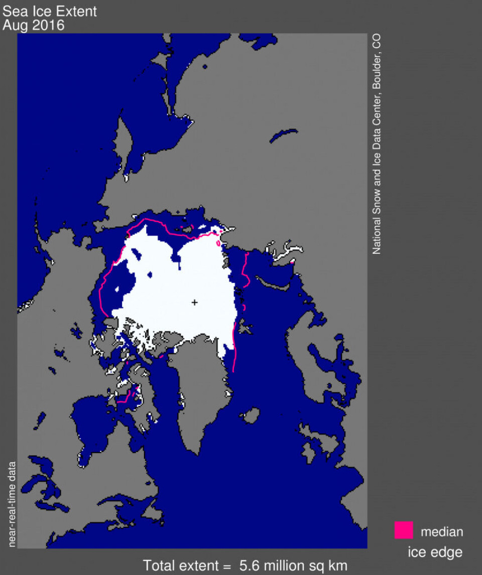
Average sea ice extent for August 2016 was 5.6 million square kilometers (2.16 million square miles), the fourth lowest August extent in the satellite record.
By Levon Sevunts
This means sea ice in August has shrunk by 1.03 million square kilometres (more than twice the size of California) below the 1981 to 2010 average for the month, according to figures released Wednesday by the U.S.-based National Snow and Ice Data Center (NSIDC).
However, it seems sea ice is 890,000 square kilometres (344,000 square miles) above the record low for August that was set in 2012.
As of September 5, almost the entire Arctic Ocean had registered below average sea ice extent, except for a small area within the Laptev Sea.
Ice extent is especially low in the Beaufort Sea and in the East Siberian Sea.
While there was still considerable sea ice in the deeper northern portion of the Northwest Passage, the shallower southern channel – the so-called Amundsen route – was nearly ice free, the NSIDC said.
While the NSIDC says it is unlikely that a new record low will be reached this year, total sea ice extent is already lower than at the same time in 2007 and since the last week of August is currently tracking as the second lowest daily extent on record.
The average ice loss rate through August was 75,000 square kilometres per day (29,000 square miles), compared to the long-term 1981 to 2010 average of 57,300 square kilometres per day (22,100 square miles per day).
In August, the Arctic lost about 2.34 million square kilometres (904,000 square miles) of sea ice, an area larger than Greenland.
This story is posted on Independent Barents Observer as part of Eye on the Arctic, a collaborative partnership between public and private circumpolar media organizations.


