
Cultural heritage in Svalbard – cleaning up after a century of coal mining
июня 20, 2024
Coal mining is part of Svalbard’s identity and cultural heritage, yet environmental protection laws stipulate that when industrial activities cease, the landscape must be returned to its natural state. The end of the mining epoch in Svea is a case study in balancing between nature and culture.
By: Kristine Bondo Pedersen and Anita Evenset // Akvaplan-niva
Coal mining in Svalbard can be traced back to the 17th century, when coal deposits were found by whalers and early explorers. However, commercial mining activities did not begin until 1899. Both Norway and Russia have had mining operations in Svalbard, but owing to coal depletion or economic conditions most of the mines were closed by 2000.
Today only one Russian mine in Barentsburg and Mine 7 outside Longyearbyen are still in operation. Until 2015 it was largely unknown how polluted the areas around the coal mines were, and what impact pollution might have had on the environment. A few environmental investigations had been conducted, but these were often confined to limited areas.
As part of the green transition, the Norwegian government decided to close all Norwegian-run coal mines in Svalbard. According to the Svalbard Environmental Protection Act, sites used for industrial purposes must be brought back to their original state when operations cease. This has entailed laborious work to map and mitigate pollution at the mining sites Svea and Mine 7 to ensure that pollution of the past does not leave footprints for the future.
Is coal a source of pollutants?
Coal is clearly visible in the landscape in Svalbard, and bears witness to the coal mining heritage. But is the coal in itself a source of pollution? More than 200 samples of coal (crushed and processed) from Sveagruva, Mine 7, and Hotellneset, the former coal storage site for Longyearbyen’s mines, have been analysed for pollutants. Most of the coal samples qualified as clean according to Norwegian threshold values. However, about 25% of the samples had elevated concentrations of benzene, mercury and/or polyaromatic hydrocarbons (PAH).
ADVERTISEMENT
The samples with elevated concentrations of pollutants were sporadic, that is, not all from the same areas, and no dispersion of pollutants was detected. Benzene and PAH are known to be bound tightly in coal particles, resulting in low mobility and bioavailability. Mercury is also bound in the coal particles, but may mobilise in acidic conditions, for example if sulphides are oxidised to sulfuric acid. Although the coal contains sulphides, analysis of coal from Svea revealed low potential for acidification. The coal in itself was therefore not considered to pose a risk to the environment.
Svea – a brief background
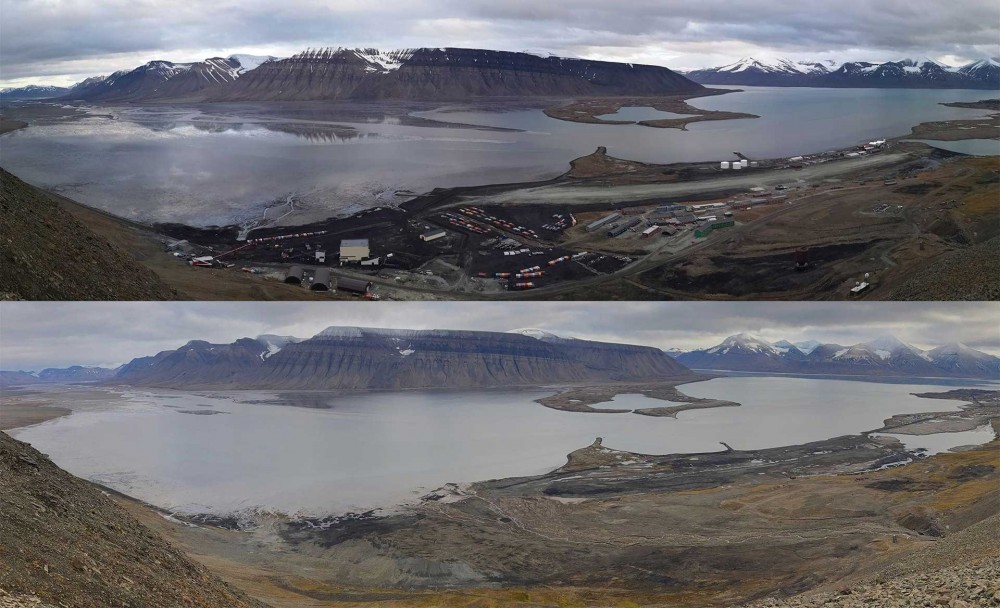
Sveagruva was both a mine and a settlement that accommodated miners, located in the innermost part of Van Mijenfjorden, approximately 44 km southeast of Longyearbyen. During operations there, from 1917 until 2017, several coal deposits were mined. In 2017 the Norwegian government decided to close down the mines in Svea.
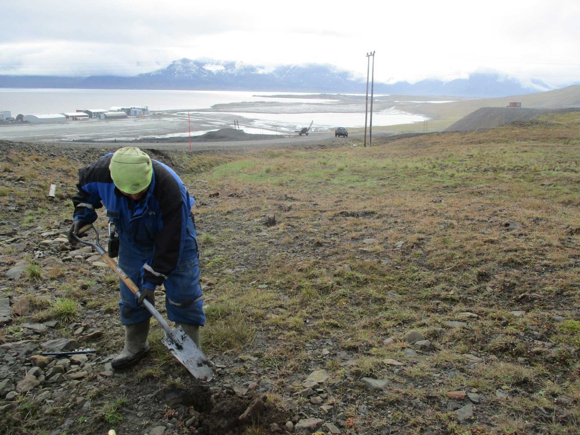
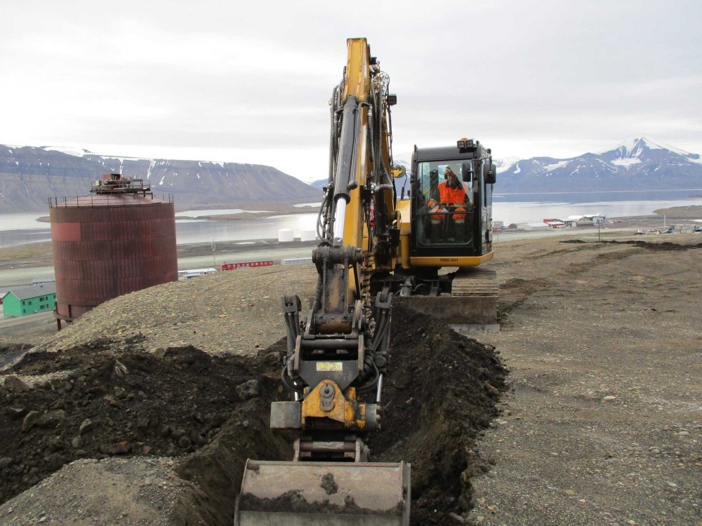
This meant that Lunckefjell, where a previously untouched deposit had been prepared for extraction, never commenced with the production phase. The mining company, Store Norske, managed the mine closure with the environmental goal of returning the area to its natural state. This entailed extensive work, not just mapping and cleanup of pollution, but also demolition of buildings and infrastructure, mapping and safeguarding of cultural heritage remains, and landscaping. Several consulting companies joined the project group to prepare an ambitious termination plan for Svea.
Svea – environmental investigations
The main objective of the environmental investigations conducted in 2018–2019 was to find and delineate pollution found at the site, as well as to provide a foundation for mitigation of pollution, in accordance with the goal of bringing Svea back to nature. There were several potential sources of pollution in Svea, including processing plants, an oil tank farm, oil tanks for heating, workshops, power stations, landfills, sewage outlets, a shooting range, storage sites, trucks, airport, and areas used to practice extinguishing fires.
To cover all the potential pollutants, an extensive environmental investigation was conducted, including 550 sampling points on land, 20 sediment stations, 15 water sampling stations, and inspection of three oil separators. Samples were analysed for a variety of pollutants including metals, chlorinated solvents, hydrocarbons, polychlorinated biphenyls (PCB), per- and polyfluoroalkyl substances (PFAS) and brominated flame retardants (PBDE).
The investigations revealed that the long period of operation had not resulted in substantial pollution, and the local environment was generally in fairly good condition. However, some small, limited areas were found to contain pollution that was assessed as posing environmental risks.
Svea – pollution and mitigation
Pollution from a large oil spill was found on land at the oil tank farm; it was believed to have originated from a leaking tank or pipes in 1978. Although the volume was large and the concentrations high, the spilled oil mainly consisted of long-chained hydrocarbons with low mobility. Moreover, the pollution remained behind a retaining wall in the tank area. Since the pollution was stable, it did not pose a risk of dispersion to the adjacent fjord. In addition, no excavation was necessary to accommodate landscaping of the area and the oil-polluted soil could therefore remain on site. It was further stabilised by covering the whole area with clean soil.
At a landfill for household and industrial waste on Kapp Amsterdam, PFAS pollution was discovered. The source was fire-fighting foam that had been used during fire extinguishing practice. PFAS do not break down and are extremely persistent both in the environment and in the human body. Store Norske stopped using PFAS-containing foam in the early 1990s, but the pollution remained on Kapp Amsterdam, and had dispersed to an adjacent stream running into the fjord. Due to the high quantity of PFAS in the soil as well as the risk of dispersion to the marine environment, mitigation actions were deemed necessary. The polluted soil was therefore excavated and transported by ship to mainland Norway for disposal at a licensed landfill.
At a storage site for metal waste from the mining activities, PBDE pollution was discovered. It originated from transport belts that had caught fire in the mine and were temporarily stored at the site, prior to being shipped out as waste. PBDE were used as a flame retardant, but like PFAS they are persistent in the environment and biomagnify in food chains, leading to high concentrations in top predators that are exposed. The PBDE had not dispersed outside the storage site as the compound has very low mobility and preferentially binds to particles rather than dissolving in water. However, due to the high concentrations, and large quantities found at the site, combined with the environmental risk related to PBDE, mitigation measures were necessary. The polluted soil was excavated and transported to mainland Norway for disposal at a licensed landfill.
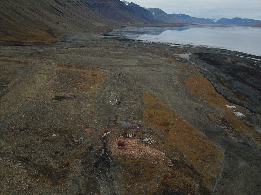
All mitigation measures for removing or stabilising polluted soil in Svea were conducted in accordance with plans to restore the landscape’s original topography. The cleanup of Svea was completed in 2023 and apart from a few buildings and equipment that are protected as cultural heritage, the footprint of the extensive mining activities is no longer visible.
Mine 7 environmental investigations
Mine 7 is located approximately 11 kilometres from Longyearbyen on a plateau about 380 m above sea level, between two valleys, Bolterdalen and Foxdalen. The main shaft is located 4-7 km into the mountain (Breinosa). Exploratory investigations of the mine took place in the 1960s; production started in 1976 and is still ongoing. Store Norske has decided to close the mine in 2025. The termination plan for the mine includes aspects aimed to fulfil requirements in the Svalbard Environmental Protection Act and from the authorities. However, the Governor of Svalbard has decided that some of the infrastructure related to Mine 7 is to remain as part of Svalbard’s cultural heritage, and that the site will not as a whole be restored to its original appearance. Mitigation measures in the area are largely determined by whether pollution poses a risk to the environment.
The main mining facilities (not including the underground mine) encompass approximately 85,000 m2. In this area the potential pollution sources included a processing plant (silos and sifting machine), spoil tips, fuel tank, oil separator, workshop, storage of vehicles and equipment, sewage discharge and disposal of waste. Potential pollutants hence span a wide range, including metals, hydrocarbons, benzene, PCBs, PFAS and PBDE. In 2022, environmental investigations were conducted around the main mining facilities and included collection of 491 soil samples from 160 drillings and 10 excavation pits. In addition, water and sediment were sampled at and downstream the mine site.
Despite a fairly long operational period, the soil at the mining facilities was generally relatively unpolluted. Several areas were found to be polluted with oil. These ranged in size from small (1–200 m3) to large (200–2,500 m3). However, since the amount of oil was small, its composition indicated low mobility, and the spills were already stabilised in the soil, the study concluded that the environmental risks related to the oil were small. The plan is therefore to leave most of the oil where it is. Removing the oil may entail higher environmental costs than environmental benefits.
Small amounts of oil were also found at the spoil tip. However, this area is prone to landslides, and the oil is at risk of dispersion down the mountainside. Another oil-polluted site that has been recommended for mitigation is located on the eastern plateaus used as spoil tips and for storage. The pollution is also located in a landslide-prone area, and in addition contains PBDE in concentrations above threshold values set by the Norwegian environmental authorities. For this reason, mitigation actions to remove the oil are planned, tentatively to be carried out in 2025.
In a few areas buried waste was found. This waste will be sorted and removed as part of the mitigation, tentatively in 2025.
In the mine itself, PFAS pollution has been found, originating from efforts to extinguish a fire in the 1980s. The PFAS pollution is confined to a dry area of the mine at an elevation lower than the entrance. No signs of dispersal to areas outside the mine were detected. The PFAS pollution is in part of the mine where mitigation will not be possible for health and safety reasons. When the mine closes, the area’s hydrological pathways may change; thus, PFAS-monitoring downstream of the former mining facility will be important in the years to come.
This article was originally published by the Fram Forum
Рассылка новостей Barents Observer
Будьте в курсе последних новостей нашего сайта! Подпишитесь на нашу рассылку новостей