Edge of Arctic sea-ice never seen this far north
This season's sea-ice extent is soon reaching minimum, with a specially sharp decline north of Svalbard and Russia's Arctic archipelagos.
After a record warm summer, bad records for the sea-ice follows. Especially so north of Norway and Russia, according to recognized National Snow & Ice Data Center with the University of Colorado.
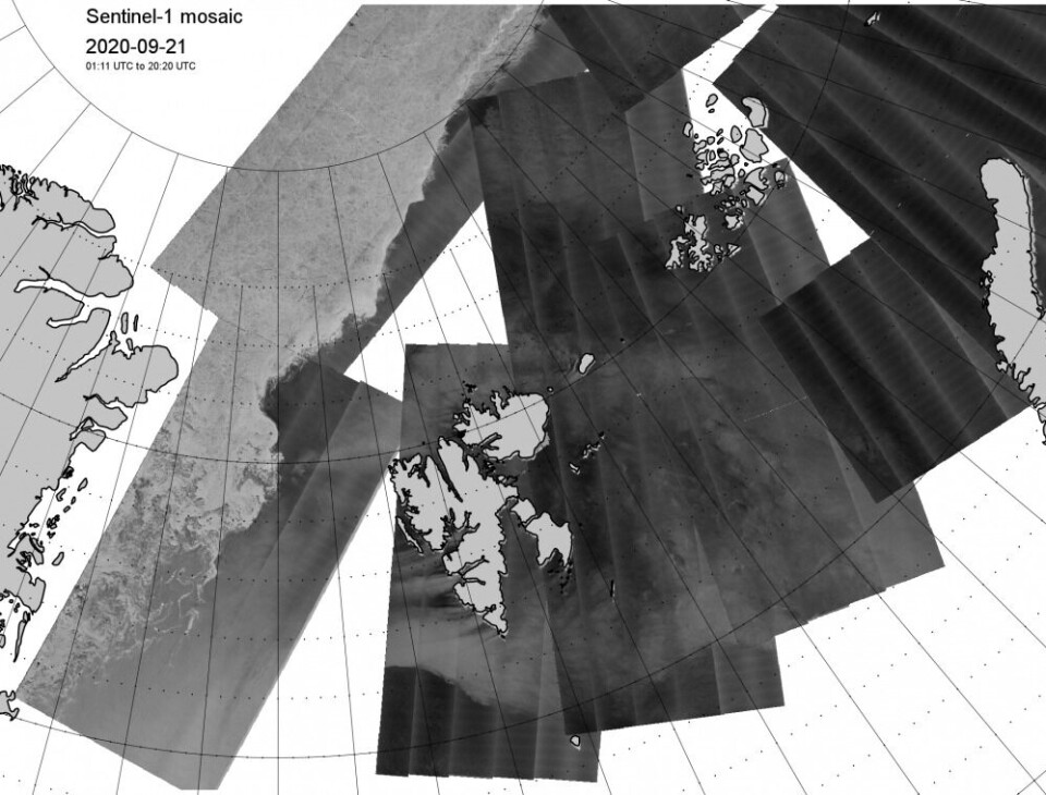
The Center’s latest satellite studies show the ice edge currently lying near 85 degrees north, about halfway between the northern tip of Svalbard and the North Pole. Similar ice free waters are found at the same latitude north of Franz Josef Land and Severnaya Zemlya.
In the first week of September, sea ice extent decreased by an average of 79,800 square kilometers per day. The researchers at the Snow & Ice Data Center have never seen a greater loss rate any other year for the same week in the sea ice record for the northern Barents, Kara and Laptev seas.
As reported by The Barents Observer last week, temperatures in northernmost Siberia were about 8°C above normal for the season. The summer of 2020 was the warmest since measurements started in Arctic Russia in 1881.
The Norwegian Meteorological Institute confirms the dramatic developments in September in the European Arctic waters. The mean sea-ice extent in July this year was record-low, followed by a second-lowest extent for August. September has also got very close to the all-time record-low sea-ice conditions from 2012.
There is still a remaining tail of multiyear ice into the southern Beaufort Sea and in the Alaskan North Slope.

For the entire circumpolar Arctic, 2020 will most likely also be the second-lowest, after 2012, in the 42-years continuous satellite record, according to the Snow & Ice Data Center.
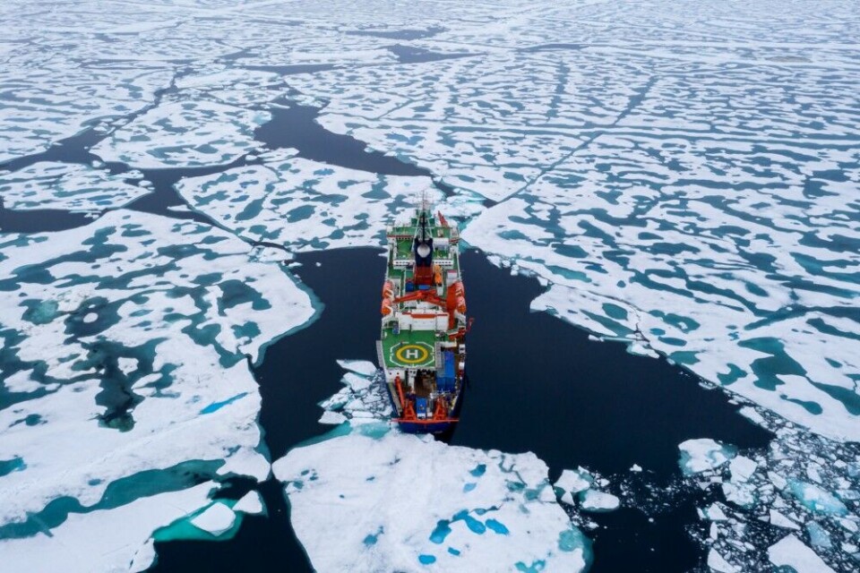
International climate scientists on board the Polarstern in August shared photos from the North Pole, showing a surprisingly weak sea-ice with lots of melt ponds and partly open water. No signs of multiyear ice anywhere on the top of the world.


