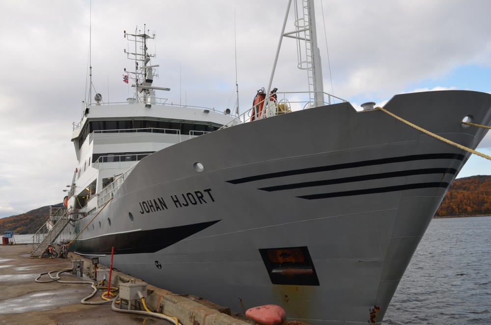
Research vessel "Johan Hjort" will soon head toward the Norwegian-Russian border areas for marine research. Photo: Atle Staalesen
Researchers explore seabed in Barents borderland
The sea bottom along Norway’s border to Russia will this summer be object to comprehensive geological and biological mapping by Norwegian researchers.

мая 26, 2016
ADVERTISEMENT
According to research group MAREANO, geological, biological and chemical measurements will be conducted across a 9,400 square kilometer area along the border. In addition, depth measurements will be made in a 2,840 square kilometers area.
The research vessel «Johan Hjort» on 9th June sets course from Tromsø towards the border area where more than 60 sites will be explored. The researchers also in 2014 and 2015 operated in the area, and activities will continue in 2017-2019, the MAREANO informs.
The mapping in the area comes as Norway steps up its oil and gas activities in the maritime borderland with Russia. As part of the country’s 23rd License Round, several blocks in the area are being made available for oil companies.
The researchers will this year also conduct measurements in the waters north of Svalbard, and especially in the Rijp Fjord.
MAREANO maps depth and topography, sediment composition, contaminants, biotopes and habitats in Norwegian waters. It is a research initiative supported by the Norwegian Marine Research Institute, the Geological Survey of Norway and the Norwegian Mapping Authority.
ADVERTISEMENT
Sections
Арктика 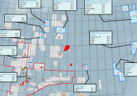
Рассылка новостей Barents Observer
Будьте в курсе последних новостей нашего сайта! Подпишитесь на нашу рассылку новостей