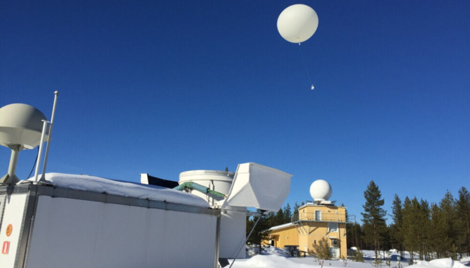
Finland suspects Russia jams GPS signals vital for weather balloons
Tracking data for balloons released by the Finnish Meteorological Institute in Sodankylä have been lost several times, jeopardizing weather forecasts for northern regions.
“Positioning has been lost a few times,” says head of the space centre, Jyri Heilimo, to Finnish broadcaster YLE.
Balloons released two times a day add to other measurements made on ground in Sodankylä and information downloaded from satellites flying in polar orbit.
The Sodankylä Arctic Space Centre is considered to be critical infrastructure in Finland.
Information from the centre is distributed to the rest of the world via fiberoptic cables and satellite links. The station is one in a network of weather forecast locations inside the Arctic Circle.
In Norway, similar launchings of weather balloons take place at Bear Island in the Barents Sea.
“The information that is produced here in Sodankylä is part of a larger security chain. If one of the links is broken, all information can no longer be obtained,” Jyri Heilimo says to YLE.
GPS locators on the balloons, which rise to a hight of 15 to 20 kilometers, are used to know the wind speed and where the balloon lands.
Russia has several locations for electronic warfare forces near Finland, including in the north.
Since 2018, GPS jamming from the Pechenga region and other locations on the Kola Peninsula have troubled both civilian air traffic and other actors depending on positioning systems, like the search- and rescue services and construction companies.
Finland has also measured Russian GPS jamming harming northern airports, like the one in Ivalo, some short 50 kilometres from Russia’s Murmansk region.
The jamming has intensified since the full-scale war against Ukraine started in February 2022. Last December, pilots flying northeastern Norway for the regional airliner Widerøe reported they lost GPS signals 27 times.


