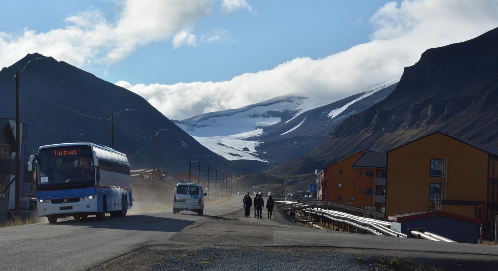
Photo: Atle Staalesen
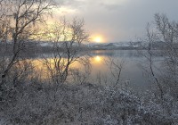
After the warmest ever Arctic summer could come the mildest winter
Air temperatures will be above normal across the whole region and ice layers far below norms, an international group of meteorologists says.

November 21, 2019
ADVERTISEMENT
Parts of northern Europe might have experienced a cold fall with temperatures below normal. But forecasts from leading Arctic researchers leave little doubt about an upcoming mild winter.
The summer of 2019 was the warmest on record, and the trend will continue into early 2020, researchers from the Arctic Regional Climate Centre (ArcRCC) Network conclude.
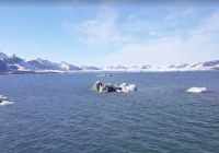
The forecasts support evidence of drastic changes in the region. Arctic temperatures continue to warm at more than twice the global average and the extent of winter sea-ice is at record low levels.
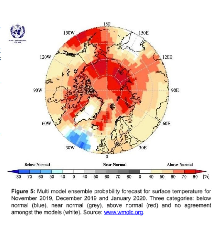
During a recent session in the Arctic Climate Forum, experts from across the Arctic region discussed forecasts for the next half year. They agree that surface air temperatures during winter 2019-2020 will be above normal across the majority of the Arctic regions.
The session was organized by the Norwegian Meteorological Institute and held in the form of video conference. In the meeting participated representatives of the Arctic Council member states, as well as representatives of shipping companies and indigenous peoples, the Russian meteorological authority, Roshydromet, informs.
Maps provided by the network show that it is the Russian Arctic that is expected to experience the biggest temperature deviations in the winter of 2019-2020. An area stretching from the eastern part of the Barents Sea and all the way to the Chukchi Sea is believed to see significant above-normal temperatures.
ADVERTISEMENT
The forecasts are based on consensus statements from the network members and prognosis confidence varies for the different regions.
According to the outlook report issued by the meteorologists, also ice conditions in the region will be lighter during the upcoming winter than previous years. The freeze-up of the waters will happen later than normal across the region and the East Siberian Sea could see the biggest diversion from norms.
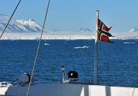
Meanwhile, the waters around Svalbard are expected to be close to normal throughout the first part of winter season.
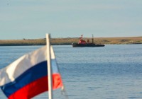
The ice conditions will make shipping in the region smoother. On the Northern Sea Route thinner than normal ice layers are expected for the whole area of the route in the first part of the winter season. With the exception of western part of Laptev Sea no risk of old ice is expected and very easy ice conditions for navigation will dominate the Chukchi Sea area, the report reads.
The Arctic Regional Climate Centre Network (ArcRCC-N) is rooted in the World Meteorological Organization (WMO) Regional Climate Centres (RCCs) and provide half-year forecasts on Arctic weather.
The climate consensus statements are made to support Arctic decision makers, the network researchers say. The forecasts are presented in May prior to summer thawing and sea-ice break-up, and in October before the winter freezing and the return of sea-ice.
ADVERTISEMENT
Read more

The Barents Observer Newsletter
After confirming you're a real person, you can write your email below and we include you to the subscription list.